Lower Macleay Trail

Monday, February 17, 2020

Distance

5.0 miles

Elevation Gain

921 feet

Route Type

Out & Back

Driving Distance: 16mi (23min) East to Forest Park

Difficulty: Easy

Tier: 3

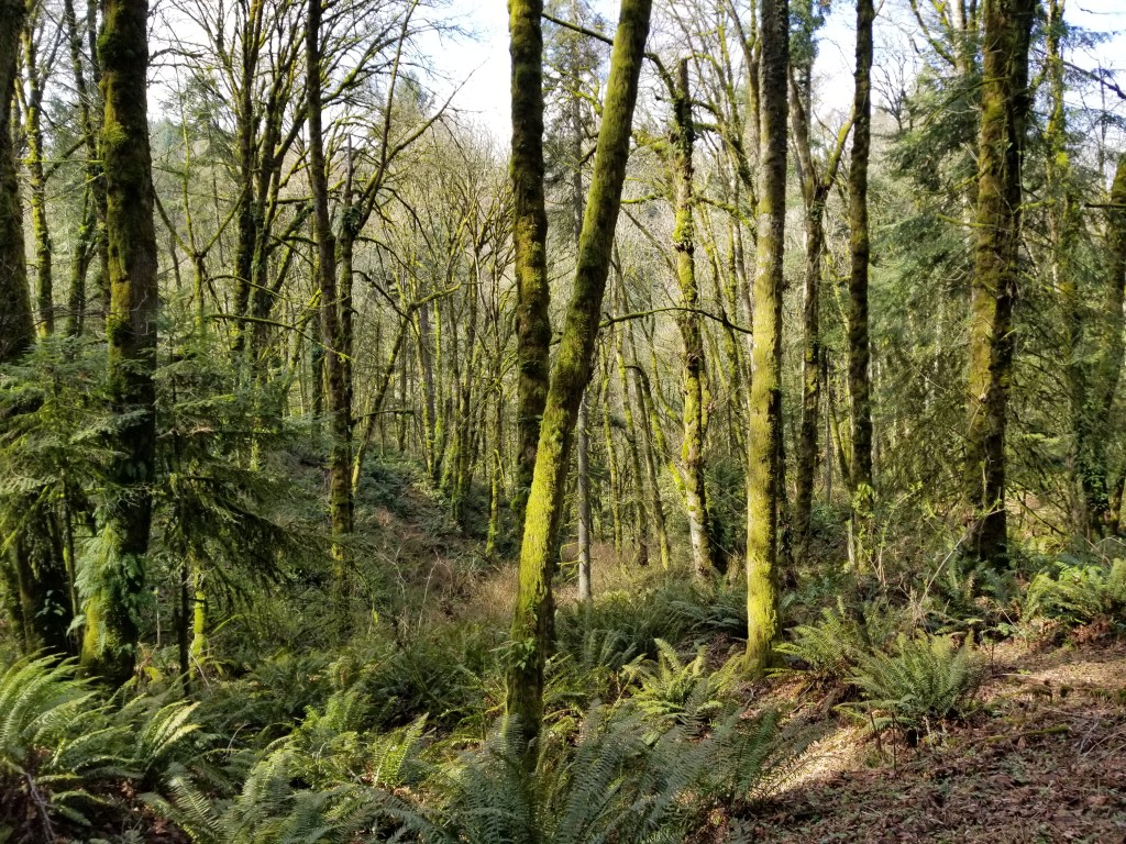
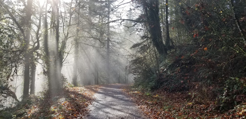
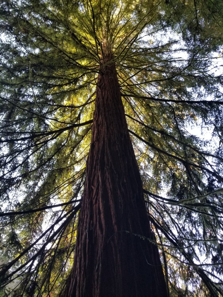
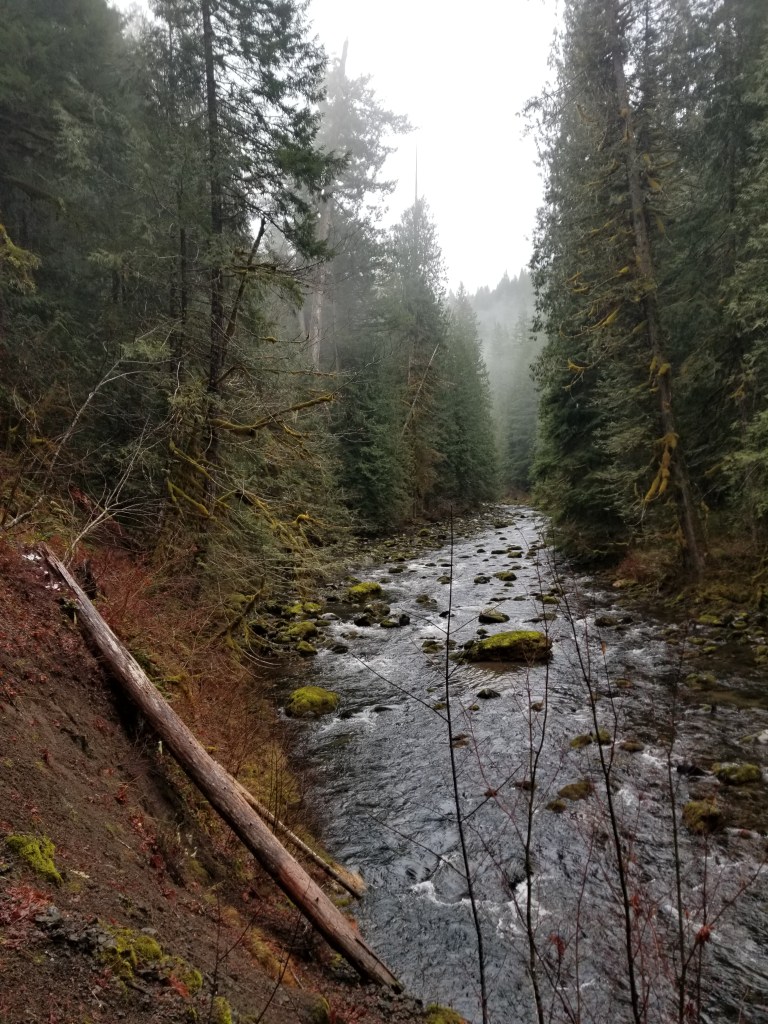
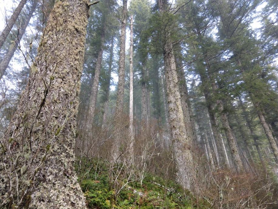
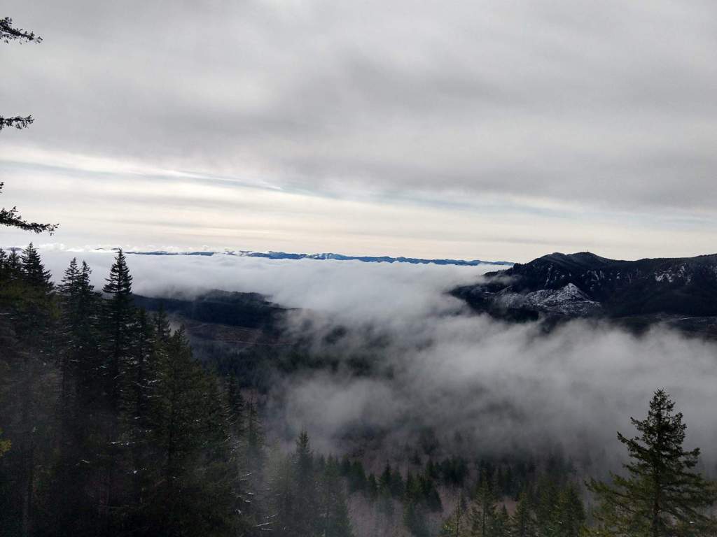
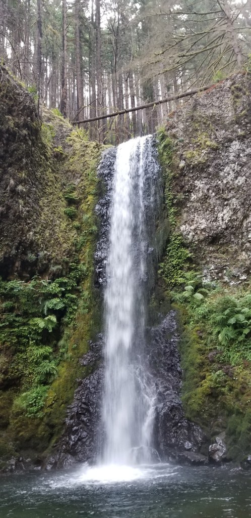
Review: Another Forest Park hike and still so cool that you can appreciate nature like this so close to home. My favorite thing about this hike is that it is so close to NW 23rd. The trailhead is off of Thurman, just a few blocks west of one of my favorite coffee shops. This is a really popular trail, so I wouldn’t expect to get the peaceful feeling, but there is a running creek throughout the entire hike and a lot to look at and appreciate!

Wildwood, Maple, Fireland, Nature Loop

Sunday, March 1, 2020

Distance

5.4 miles

Elevation Gain

1017 feet

Route Type

Loop

Driving Distance: 12mi (22min) East to Forest Park

Difficulty: Easy

Tier: 3

Review: Fabulous, nearby hike. It’s easy to get to, and the drive in the fancy forest park neighborhoods is pretty neat. The hike was pretty muddy and well-trafficked. There were a lot of trail runners and a lot of dogs. It was very green and peaceful. There were some good leg-burning inclines and plenty of variety in the hike. There are no facilities, and there is no parking lot at the trailhead. I had to pee in the forest, which was quite tricky with so many people running by. Tier 3 simply because it’s another Forest Park hike–nothing outstanding, but a wonderful, easy way to be in nature close to home.

Cape Horn Trail

Date: December 15, 2019

Distance

7.5 miles

Elevation Gain

1,587 feet

Route Type

Loop

Driving Distance: 47mi (54min) Northeast to Washington side of the Gorge

Difficulty: Easy

Tier: 3

Review: The trail was a little strange. It started off along the road, with some road noise. The highlight was supposed to be the views of the Gorge, but it was too foggy to see. Eventually we walked through a field? Maybe a horse field? Near the middle, we had some neat, rocky areas. The hike ended with a long trek up a road. Overall, it could have been a nicer hike if we could have seen more.

Wildwood Trail to Pittock Mansion

Date: January 1, 2020

Distance

6.2 miles

Elevation Gain

954 feet

Route Type

Out & Back

Driving Distance: 30min via the MAX

Difficulty: Easy-Medium

Tier: 2

Review: We took the MAX to the Washington Park stop and walked to Hoyt Arboretum. We took the Redwood Trail until it ended. Eventually we saw a sign for Pittock Mansion via the Wildwood Trail, so we continued on that. It was actually kind of tough since we weren’t expecting real elevation gain, but nothing too terrible. It was a neat area, and the views of the city at the top were really cool. A cool part of this hike to me was that it is so close to the city and took very little effort on our part. The redwoods were also really beautiful and very tall! A nice, easy way to be in nature close to home.

Trail of Ten Falls

Date: January 11, 2020

Distance

7.6 miles

Elevation Gain

1,194 feet

Route Type

Loop

Driving Distance: 63mi (1.5hr) South to Silverton

Difficulty: Easy

Tier: 1

Review: Silver Falls State Park is very nice with well-kept trails. The parking lot is huge, but was already beginning to fill up by the time we ended the hike. We started this hike around 9am and were the only ones there. We had to pay $5 for parking, and there were restrooms and a little lodge near the parking lot. The trail has parts that are built up with steps, rails, even concrete at points. I think that’s likely because it’s a very popular hike. But we barely saw anyone until near the end of our hike, which I think made it more enjoyable. We were really able to appreciate the falls, the rushing river, and the lush forest. We followed Canyon Trail most of the way and took a few detours. Eventually we found ourselves on the rim trail until we got back to our car. Technically no dogs are allowed on this trail… but nobody stopped us. Definitely a fabulous winter hike to enjoy all of the waterfalls! We also stopped in Silverton on the way back and ate at Silver Falls Brewery–scrumptious clam chowder!

Salmon River Trail

Date: December 7, 2019

Distance

11.4 miles

Elevation Gain

1,676 feet

Route Type

Out & Back

Driving Distance: 66mi (1.5hr) East towards Mt. Hood

Difficulty: Medium – started out easy and ended with all the elevation

Tier: 1

Review: We really liked this hike. Top tier! It starts off very easy with both uphills and downhills. It has parts along the river and through lush forest. It is also very quiet and peaceful. About 3 miles in, it gets more strenuous with all of the elevation gain. Then it opens up to some beautiful views of the mountains. We stopped about 5.7 miles out and turned around. We are pretty sure you could keep going for awhile though! On the drive back, we stopped in Sandy at a pizza place. There were a lot of little restaurants and places to stop in Sandy as well.

Saddle Mountain

Date: November 3, 2019

Distance

4.5 miles

Elevation Gain

1,791 feet

Route Type

Out & Back

Driving Distance: 61 mi (1.25 hr) Northwest on way to Cannon Beach

Difficulty: Medium

Tier: 1

Review: This is definitely one our top hikes. The views are top notch all throughout the hike, from trailhead to summit. While it is not a terribly difficult hike, it is a steady elevation gain throughout. Some parts were somewhat steep and rocky, but there was fencing along the path for better traction. The summit had safety rails to keep the dingalings from being dinguses. On clear days, it is a seven-mountain hike, with great views of Mt. Hood, Mt. Ranier, Mt. Jefferson, Mt. St. Helens, Three Sisters (Bend), and Mt. Adams. This hike would be most rewarding when done on a clear day. We were with other groups through the entire hike, so we can safely assume it is a highly trafficked trail.

Wahkeena Falls

Date: August 4, 2019

Distance

4.7 miles

Elevation Gain

1,591 feet

Route Type

Loop

Driving Distance: 42mi (54min) East along The Columbia River Gorge

Difficulty: Medium

Tier: 2

Review: Why a tier 2 hike? The traffic was a bit loud when we started the hike. It starts at Multnomah Falls, so there are a lot of tourists. That’s also a plus though, because there are nice bathrooms and a gift shop. Parking would be awful if you don’t get there before 8am or so. The beginning of the hike is really tough. It was something like 11 switch backs going clockwise on the trail. Once that leveled out, it was really beautiful. There was a lot of running water, waterfalls, slugs, mud, trees, and fewer people. Overall, a good, peaceful hike if you plan the timing right.

Angel’s Rest

Date: November 10, 2019

Distance

4.5 miles

Elevation Gain

1,476 feet

Route Type

Out & Back

Driving Distance: 41mi (45min) East to the Gorge

Difficulty: Easy

Tier: 3

Review: We did this hike in thick fog. To give it a fair rating, we need to do it on a day where we can appreciate the views of the Gorge. What we experienced was an uphill hike through a sparse forest where you could still hear much of the road. The hike is popular, so it probably has good potential–but a clear day is important!

Design a site like this with WordPress.com
Get started