Dog Mountain

Saturday, April 17, 2021

Distance

6.5 miles

Elevation Gain

2,988 feet

Route Type

Loop

Difficulty: Difficult

Tier: 1

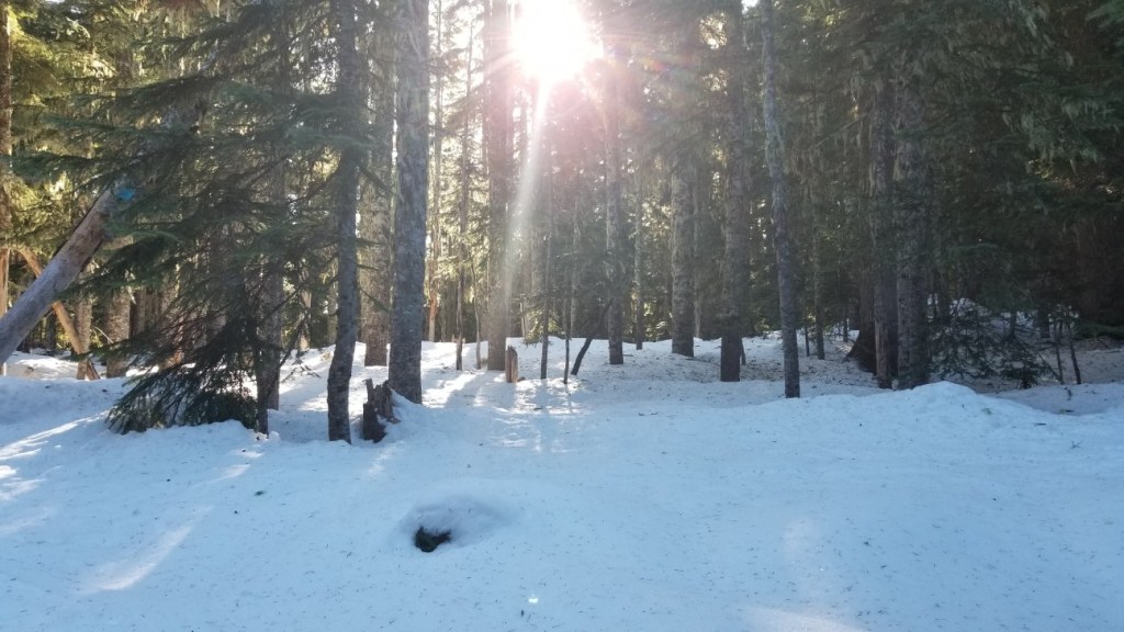
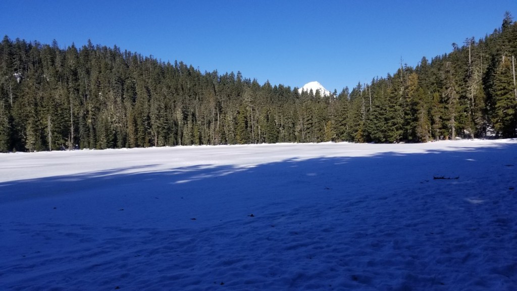
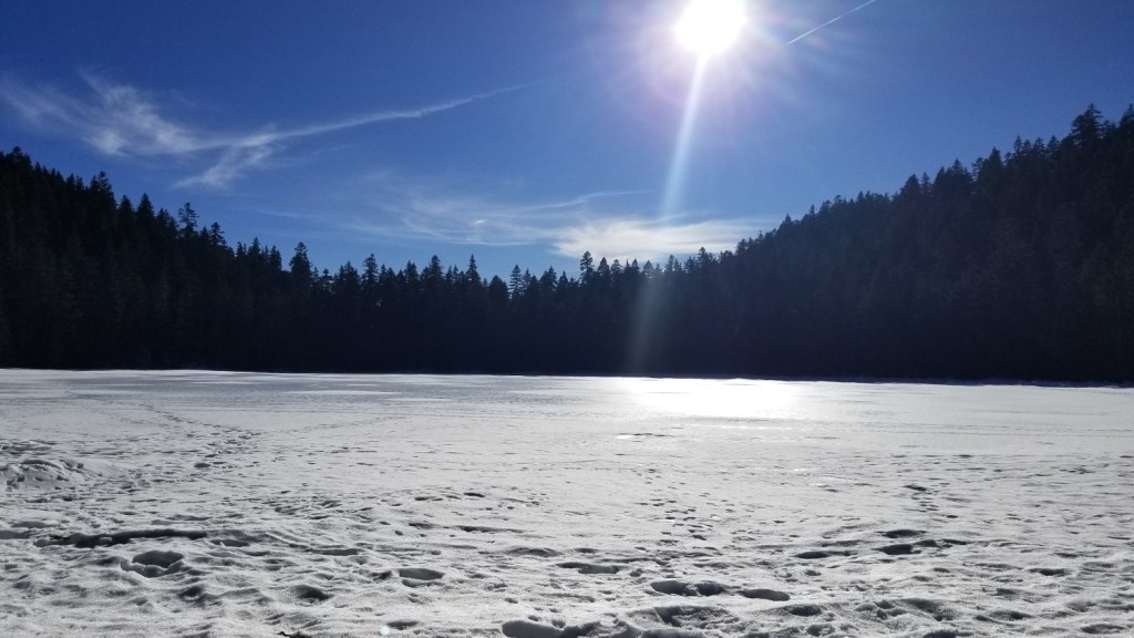
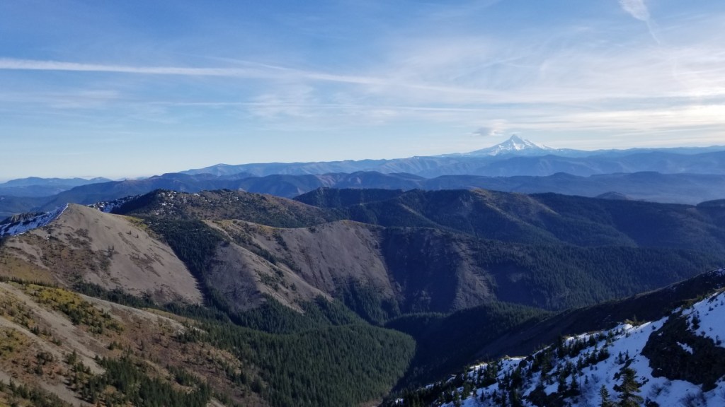
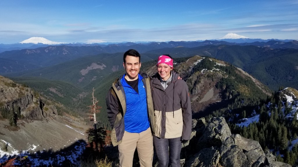
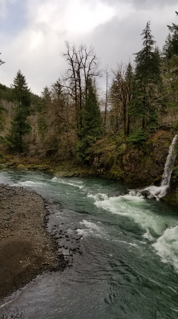
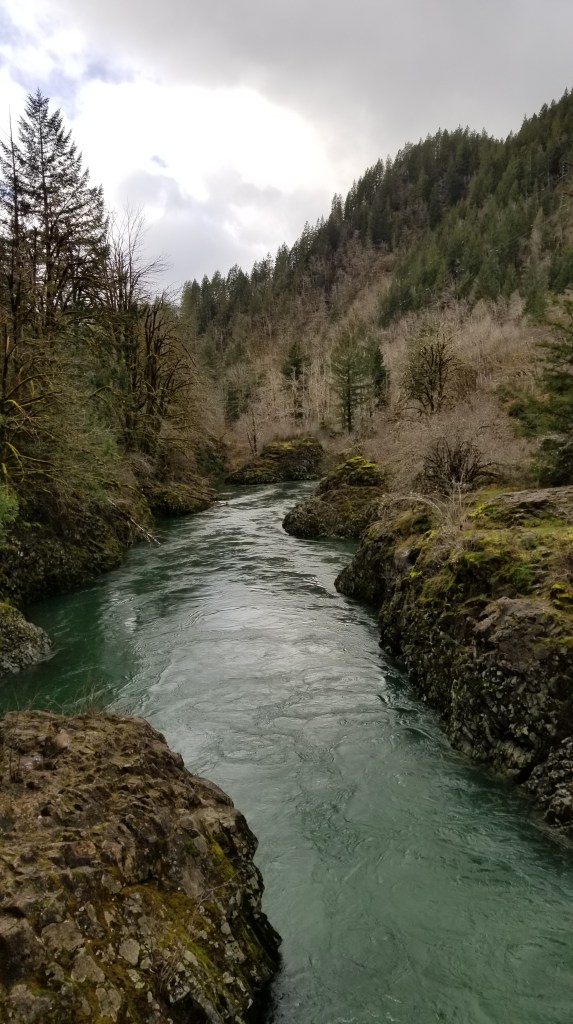
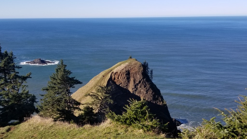
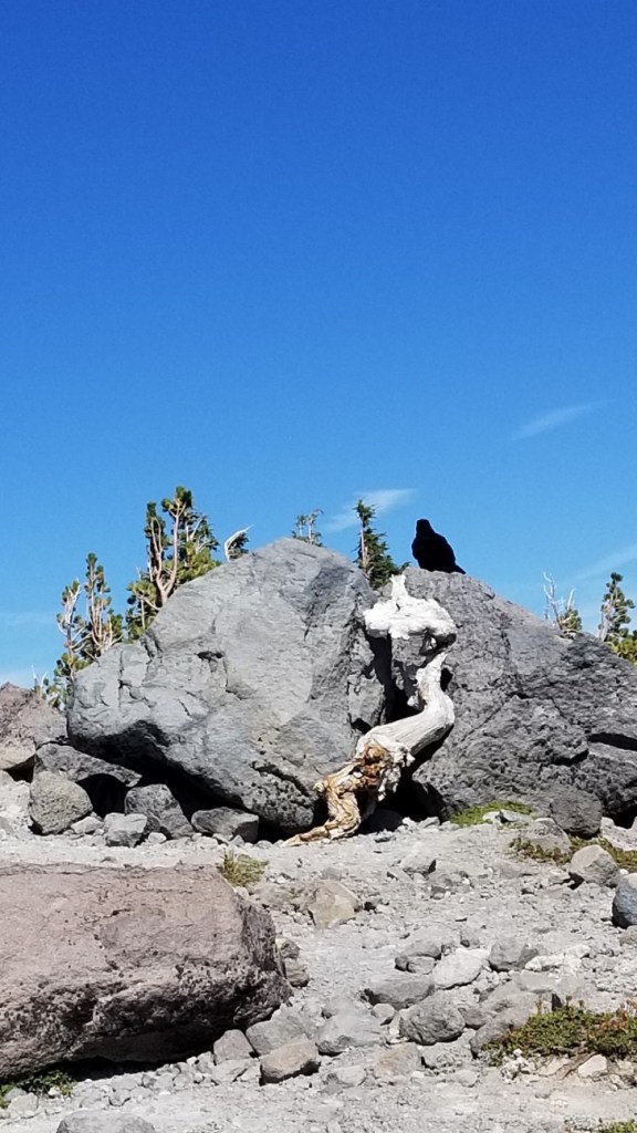
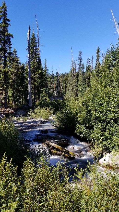
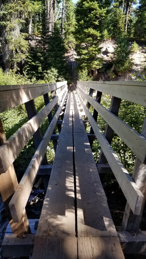
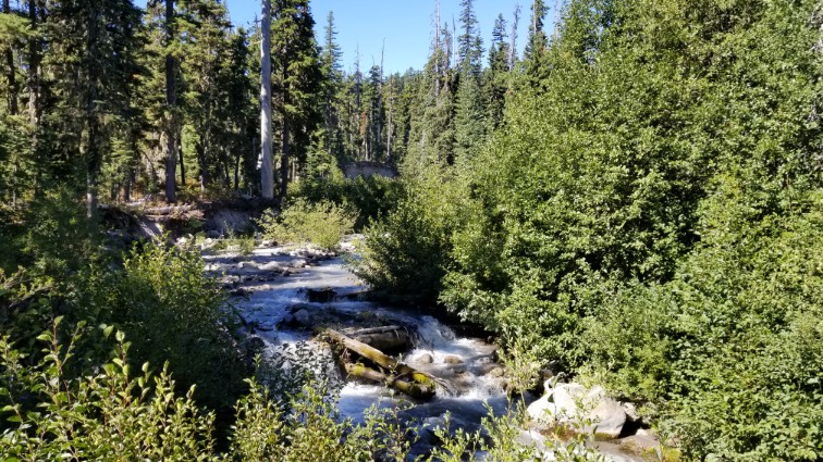
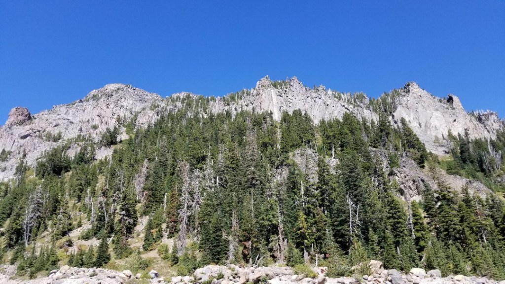
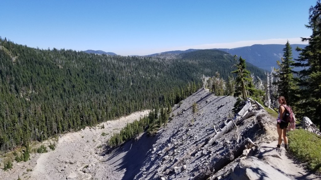
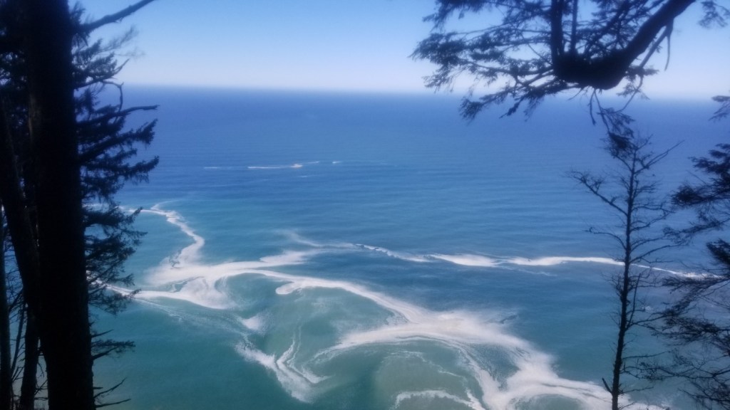
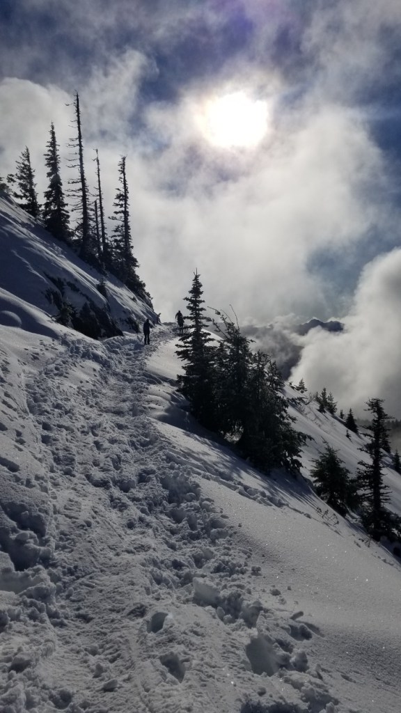
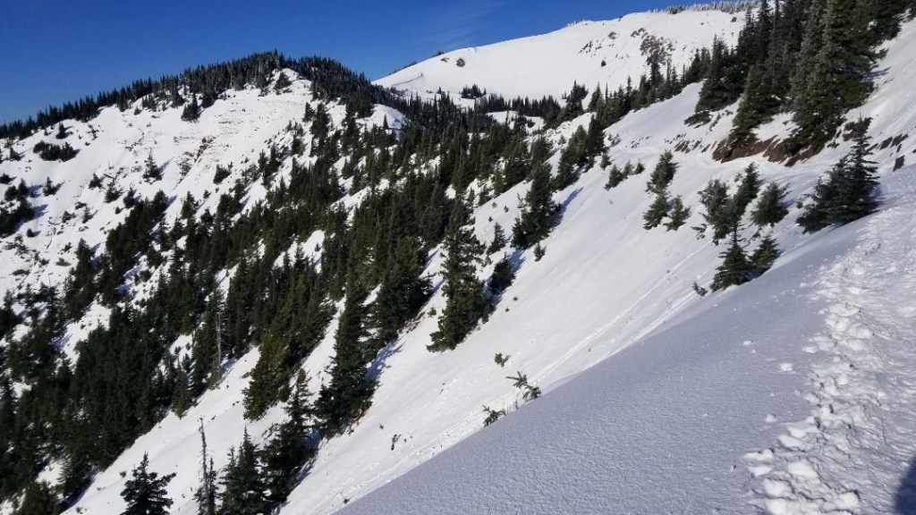
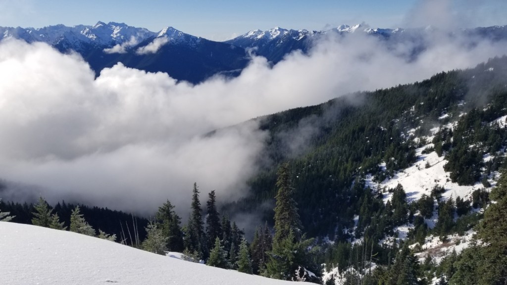
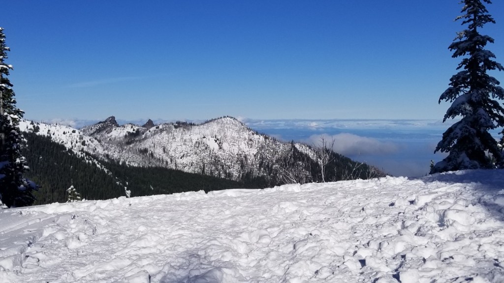
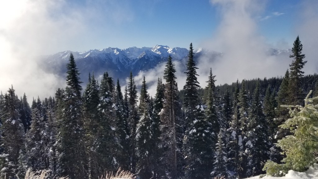
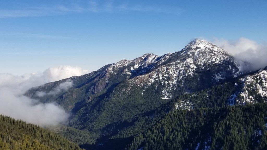
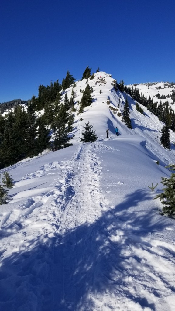
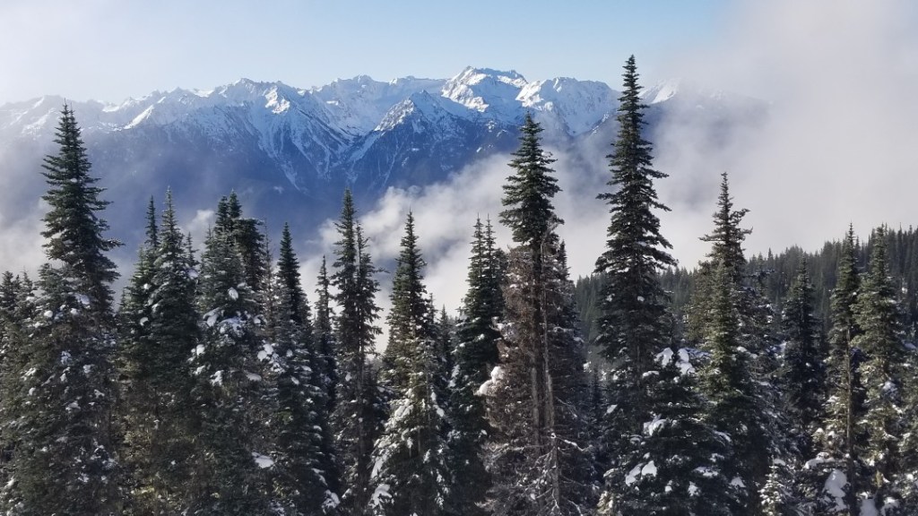
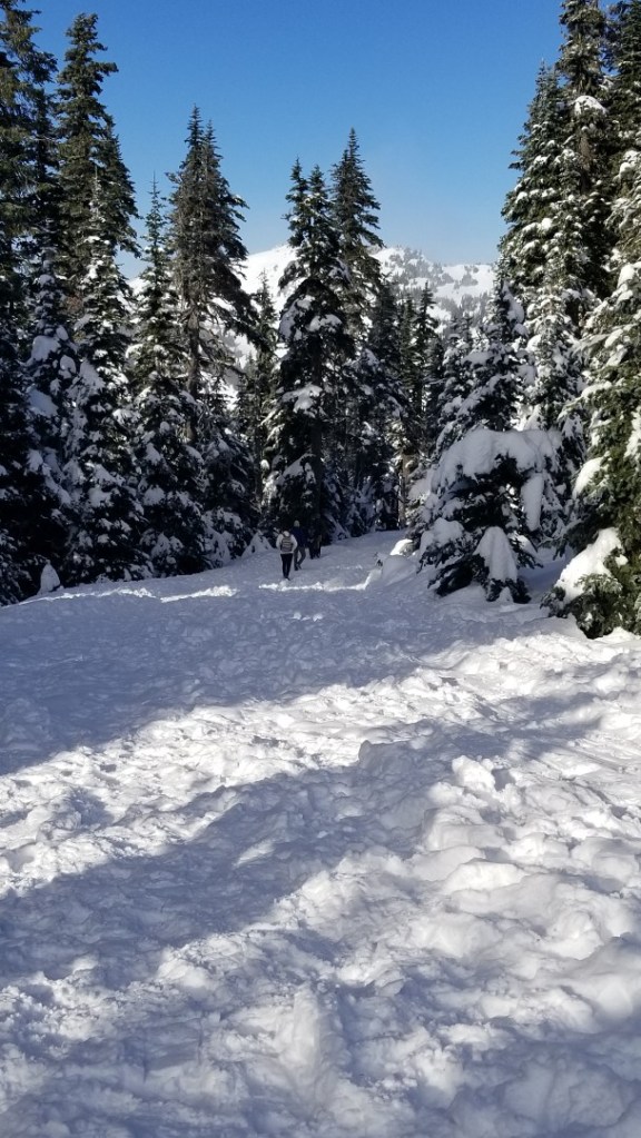
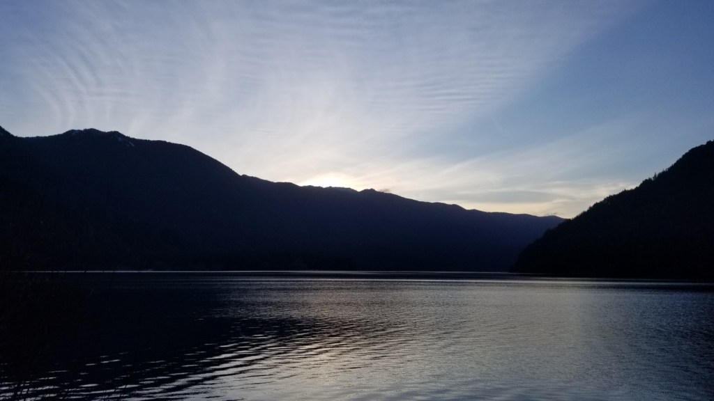
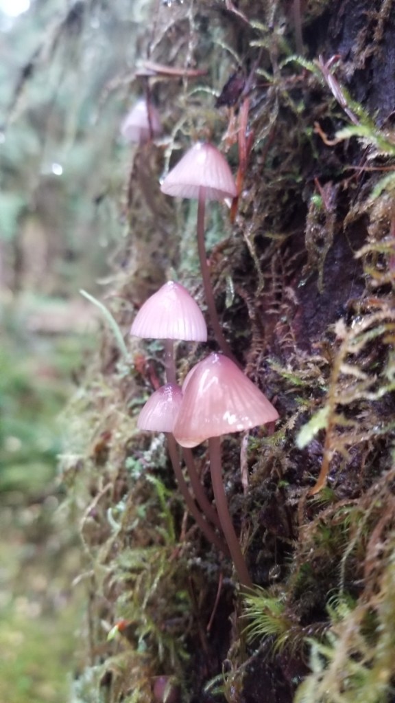
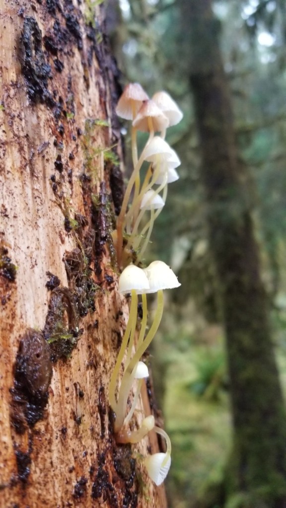
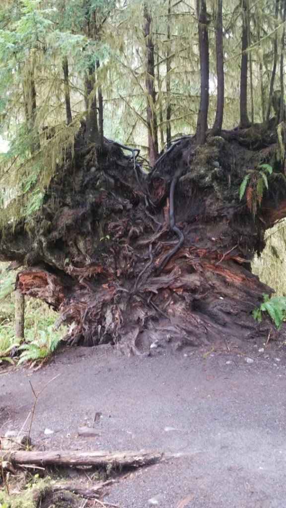
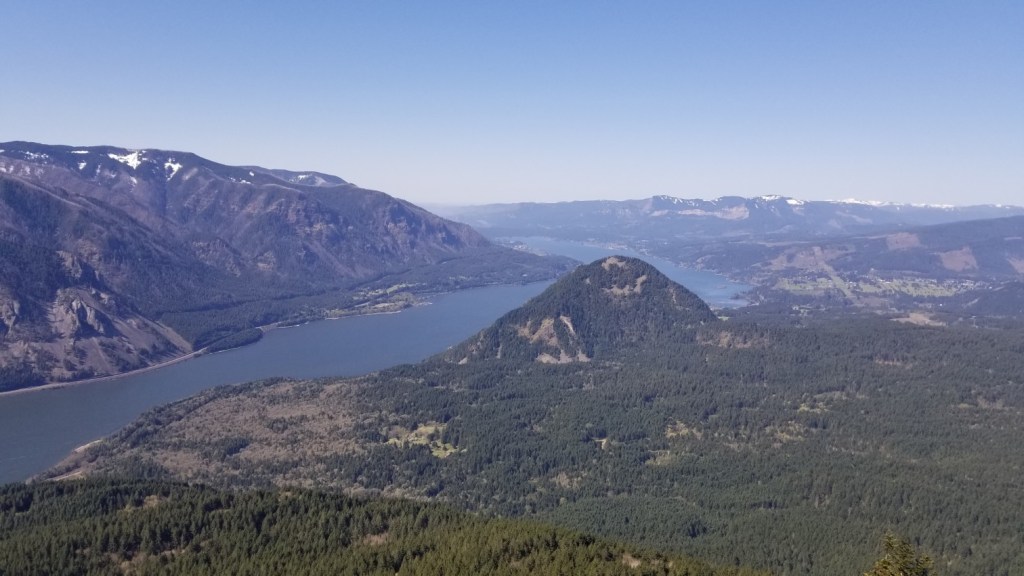
Wonderful workout with beautiful views of the Columbia River Gorge! We arrived at the trailhead at 8:45am on a Saturday, and the parking lot was already full. We had to invent a parking spot. When we finished the hike around 12:30pm, the parking lot was even more full! We didn’t have to pay the $5 fee because we had the Northwest Forest Pass. The hike starts off steep and continues that way for 3.8 miles on the way up. We took the “difficult” versus the “more difficult” route. We had to stop many times to breathe and rest our legs. It took 90 minutes to hike to the top. Throughout the hike, there are sections of vast forest, and the trail is pretty wide. There are several points near the top that open up to views of the Gorge. The way down also feels tough because of how steep it is. There are also some loose rocks, so you really have to pay attention. Overall, it was a great hike. Busy, but still worth the trip.

Twin Lakes and Palmateer Point

Monday, January 18, 2021

Distance

9.6 miles

Elevation Gain

1,768 feet

Route Type

Loop

Difficulty: Easy

Tier: 3

We need to give this hike a second chance. We didn’t have spikes, so we didn’t make it must past the two lakes. We were looking to go to Palmateer Point, but we really just ended up doing the Twin Lakes Loop. The trial is well-maintained around the lakes though and very peaceful. We will go back with the right gear and give it another shot!

Silver Star Mountain via Grouse Vista

Saturday, January 16, 2021

Distance

6.3 miles

Elevation Gain

2,096 feet

Route Type

Out & Back

Difficulty: Medium

Tier: 1

Amazing hike. On a clear day, we could see Adams, Helens, Rainier, Hood, Jefferson, and the Sisters! This hike starts very steep, but the burn is worth it. In January, the top portion of the hike was covered in snow, but we were able to get up fine with just hiking boots!

Wilson River-Footbridge Trailhead

Saturday, February 20, 2021

Distance

9.7 miles

Elevation Gain

1,496 feet

Route Type

Out & Back

Difficulty: Easy

Tier: 3

We did not complete this hike as there were fallen trees nearly the entire way. We enjoyed the part that we did do, though we had to climb around a lot of debris. Eventually we got to a fallen tree that was just too tough to pass, so we turned around. Instead we headed to the river and just enjoyed the rushing water.

Design a site like this with WordPress.com
Get started