Saturday, July 11, 2020
Distance
8.3 miles
Elevation Gain
2,585 feet
Route Type
Out & Back
Difficulty: Hard
Tier: 1
Overall: Our favorite hike to date. Truly breathtaking. Well-maintained trails. Tough hiking challenge. Very rewarding!
The Stats: I logged 3,500 ft elevation gain and about 12 miles. From the start of the trailhead and back, we took 5 hours, including breaks. The additional mileage may be in part from one planned detour and one minor unplanned detour.
Planned Detour: At the junction, there are 4 trails to take. The trail to the left takes you along timberline to McNeil Point. If you don’t mind an extra climb, you can go straight along the Mount Baldy trail. Within fifteen minutes, you hit a vast, majestic view of Mt. Hood and the valley below. Highly recommend this detour and view! Getting back on the trail is also very easy. There’s a sign as you keep hiking that says “cut-off trail.” Use this trail and turn right at the next fork.
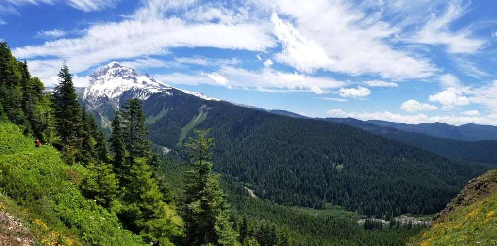
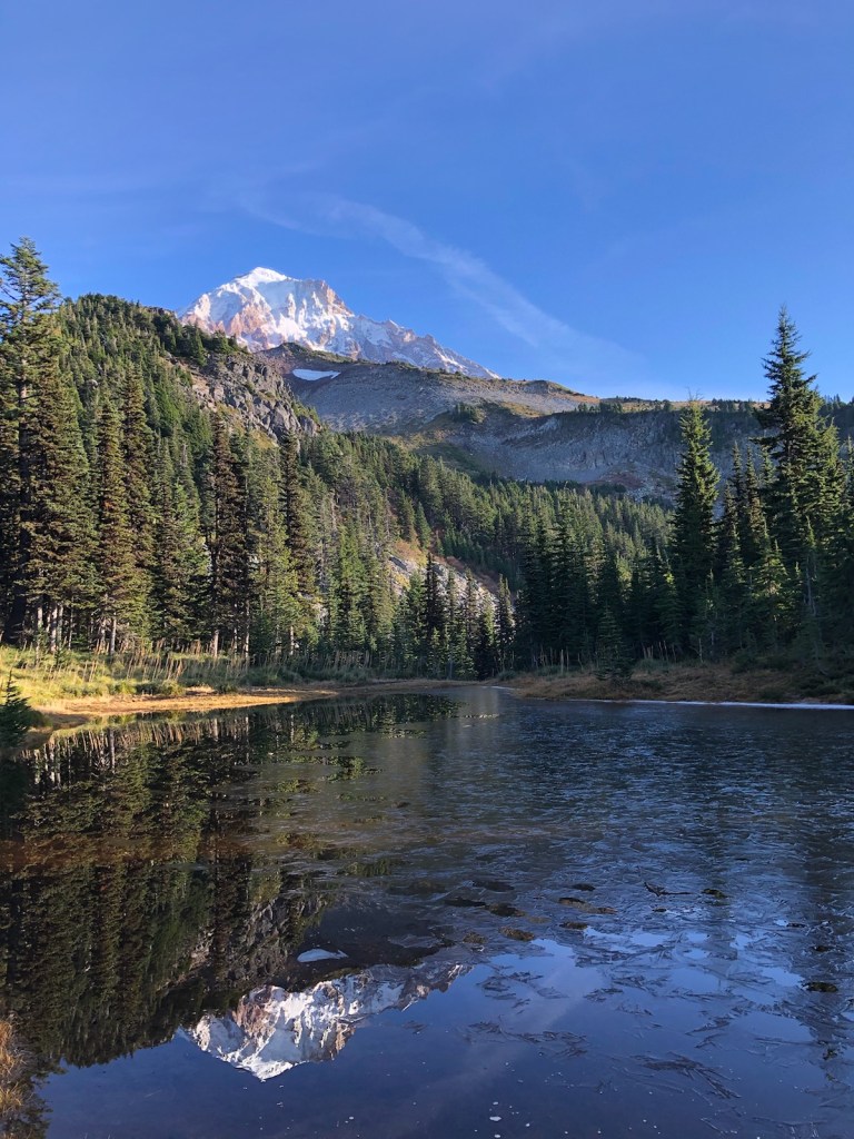
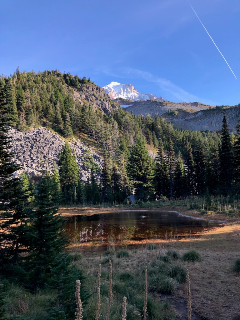
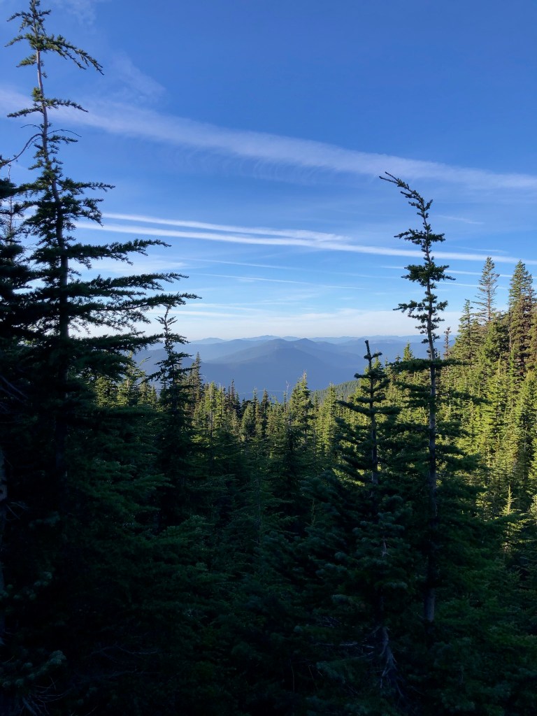
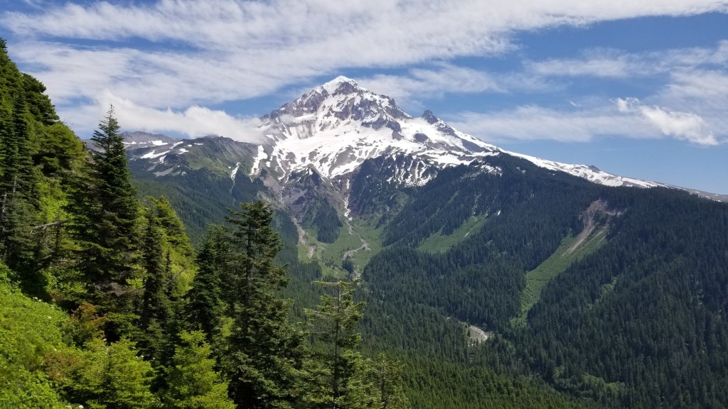
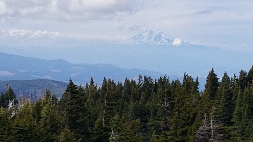
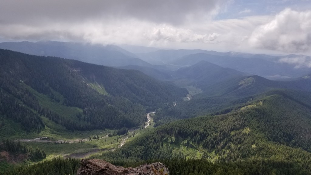
The Views: This hike offered the best views we’ve seen yet of Mt. Hood and the surrounding area. The peak was so close that we could see the detail on the side of the mountain, including gorgeous waterfalls, rushing rivers, and serene lakes. Around a mile from McNeil point, you can also see Mount St. Helens.
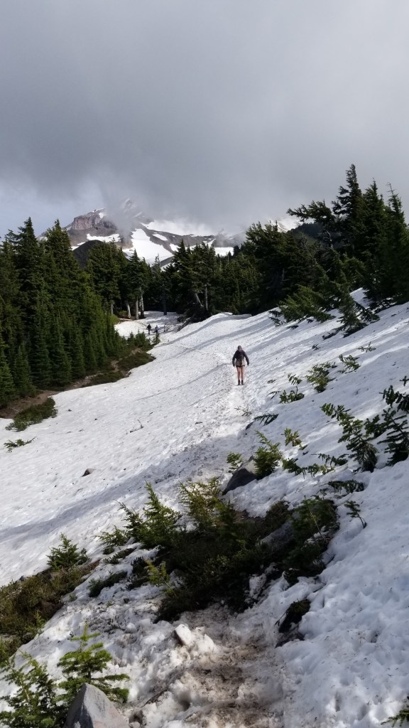
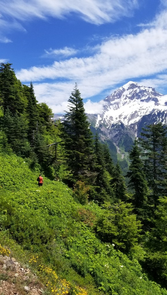
The Elements: Hiking in the summer was perfect. It was sunny and warm for the first 2 miles–shorts and t-shirt weather. Once we were more exposed, we hit areas of snow and strong winds. It was quite cold! Definitely a hike where you need to layer up.