Saturday, June 20, 2020
Distance
6.5 miles
Elevation Gain
2,871 feet
Route Type
Out & Back
Difficulty: Hard
Tier: 1
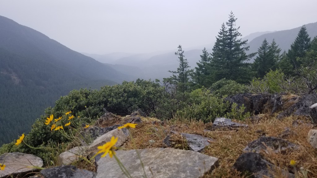
The trailhead is of the best kind. You drive through some winding service roads until you see the trailhead off to the side of the road. We parked along a pull out alongside the mountain. The hike starts immediately with switchbacks, gaining at least 1000 feet the first mile. Also, the hike claims to be 6.5 miles round trip, but it was much closer to 10. My fitbit also tracked about 3200 feet elevation gain. Also, there are many portions covered in rocks, so you have to watch your footing very carefully. About 2300 feet up, we hit a fork in the trail. To the right was the “false summit” which was very beautiful. We happened to go on a cloudier day, so we only caught a glimpse of Mount Jefferson. Even with all the clouds, we could see how vast and beautiful the views were. We continued up the trail and enjoyed a long break sitting along the final cliff simply listening to the wind, river, and birds. The hike past the false summit was quite tough–steep and a lot of brush to climb through, but it doesn’t last too long. We only saw two people the entire hike as well. Overall, the leg-burner was rewarded with a peaceful forest and incredible views! We’ll definitely be going back to this hike on a clear day!
The last couple miles were rougher on the roads. Potholes and gravel. Having a car with good clearance was helpful but not necessary at the time we drove this.
